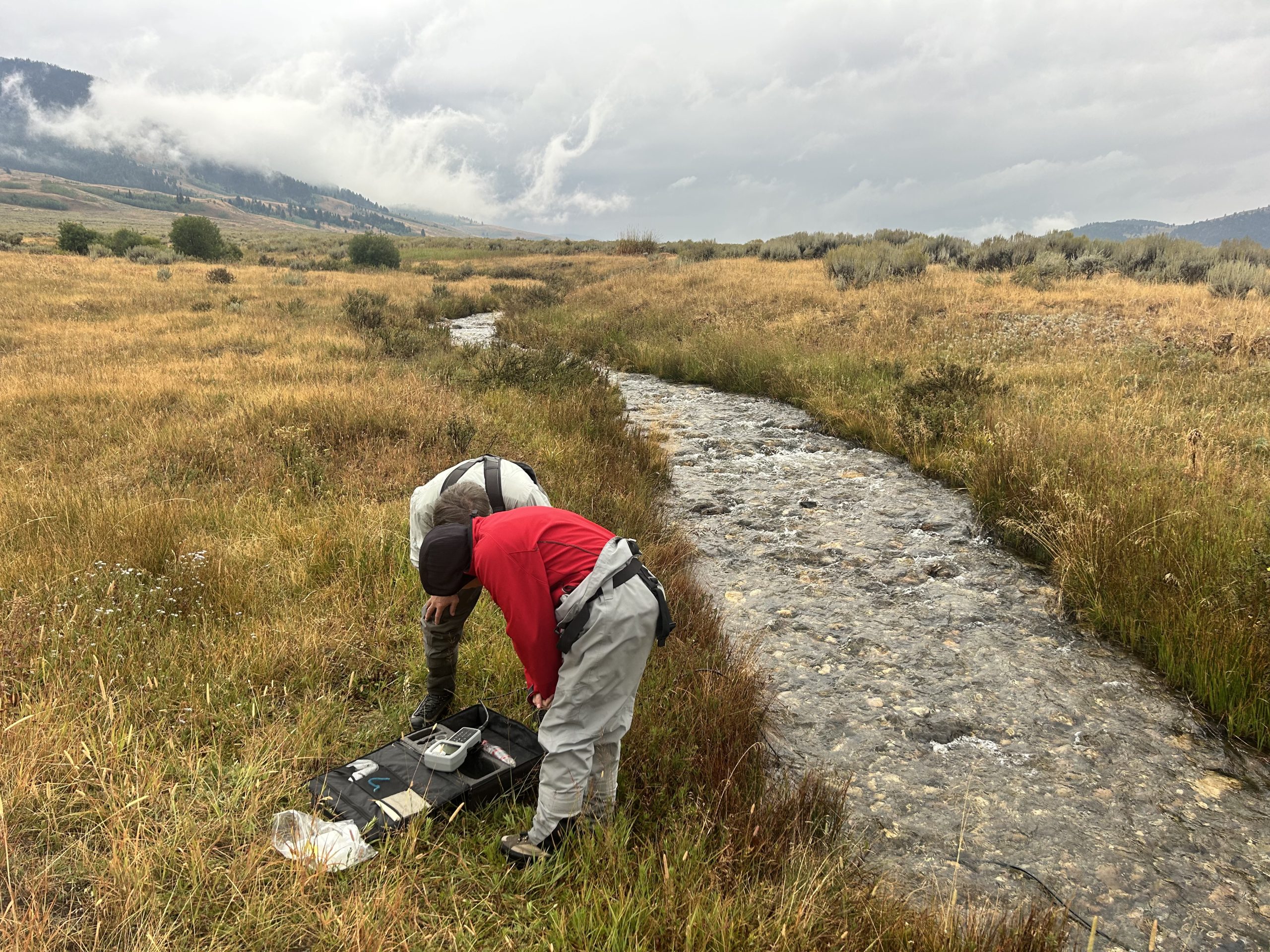
Stream Monitoring
The headwaters of the Madison River lie within the boundaries of Yellowstone National Park, the nation’s first national park. The river system and surrounding landscape make up one of Montana’s most iconic regions. Mountain snowpack feeds thousands of miles of streams that support productive agricultural lands, diverse fish and wildlife populations, and vibrant communities throughout the Madison Valley.
The Madison Watershed is experiencing a period of significant change. Madison County is among the fastest-growing counties in Montana, with a growth rate of 4.8% reported in 2022, second only to Gallatin County at 5.2% (Montana Legislative Fiscal Division, 2022). At the same time, temperatures have been increasing across the region, rising an average of 0.39°F per decade over the past 65 years, with additional warming projected by midcentury (Madison Watershed Restoration Plan).
As development, changing land use, and a changing climate place increasing pressures on water resources, understanding how our streams and rivers are changing is more important than ever. Consistent, long-term water monitoring provides the information needed to better understand watershed conditions, identify emerging concerns, and support informed conservation and management decisions.
The Madison Conservation District supports a range of monitoring efforts throughout the watershed, from continuous data collected through USGS stream gages to community-based monitoring through the Madison Stream Team. Together, these efforts provide valuable information about water conditions and changes across the Madison Valley and help build a stronger foundation for local conservation.
USGS Stream Gage Partnership
In partnership with community organizations and other local stakeholders, the Madison Conservation District has helped coordinate funding for two USGS stream gages along the Madison River. These gages provide continuous, long-term data on several important indicators of stream conditions, including:
- Stream flow
- Water temperature
- Dissolved oxygen
The data collected by these gages are publicly available through the USGS and are updated regularly, providing an ongoing record of conditions in the Madison River.
Explore the links below to view current and historical data from the two stream gages supported by the Madison Conservation District.
The installation and maintenance of these gages, and the consistent, real-time data they provide, would not be possible without the historic and ongoing financial support of NorthWestern Energy and the Madison River Foundation. The Madison Conservation District is grateful for these partnerships and their continued support of long-term water monitoring in the Madison Valley.
Madison Stream Team
The Madison Stream Team is a dedicated volunteer group managed by the Madison Conservation District. These citizen scientists collect regular water quality data at various sites on streams throughout the Madison Watershed. Data collected by this group includes:
- Stream Flow
- Water Temperature
- Dissolved Oxygen
- Conductivity
- Nutrients (Nitrogen and Phosphorous)
For more information on this group visit the Madison Stream Team webpage linked below.